

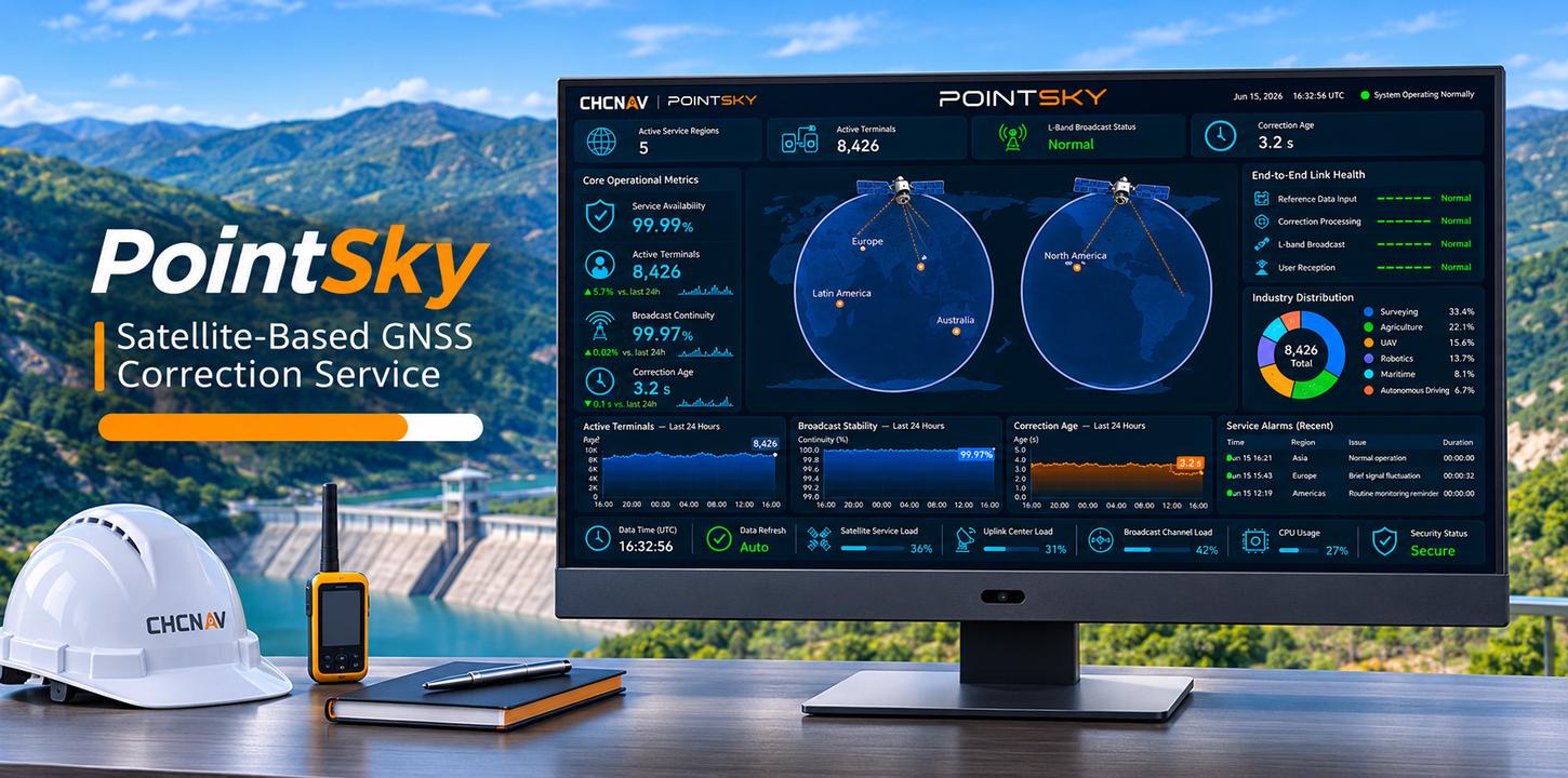
PointSky Satellite-Based GNSS Correction Service
PointSky is CHC Navigation’s satellite-based GNSS correction service, delivering high-accuracy, real-time positioning without the need for a local base station or cellular network connection. Powered by advanced Precise Point Positioning (PPP) technology, it compensates for key GNSS error sources, including satellite orbit and clock errors, hardware biases, and atmospheric delays. Corrections are transmitted via geostationary satellites, enabling compatible CHCNAV receivers to achieve reliable centimeter-level positioning across supported service regions. Ideal for surveying, precision agriculture, offshore operations, and remote environments, PointSky provides a dependable positioning solution wherever conventional correction networks are unavailable or limited.