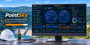

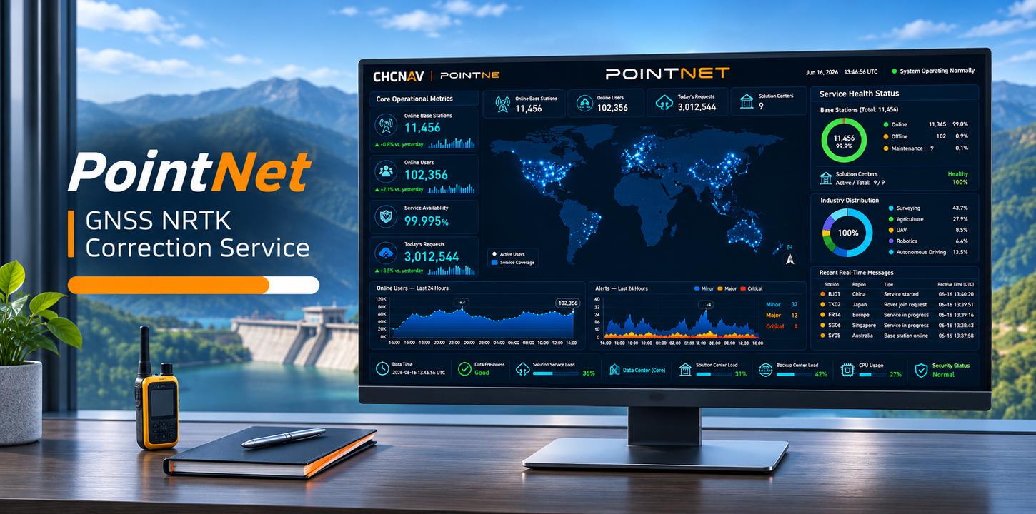
PointNet GNSS NRTK Correction Service
PointNet is CHC Navigation’s internet-based GNSS RTK correction service, providing reliable, centimeter-level positioning in real time through the NTRIP protocol. Powered by an extensive network of GNSS reference stations, it delivers accurate and consistent corrections for surveying, mapping, construction, precision agriculture, UAV operations, robotics, and autonomous systems. Designed for seamless integration with compatible CHCNAV receivers, modules, and terminals, PointNet offers straightforward activation and account management, helping professionals streamline field operations and achieve dependable positioning accuracy wherever network coverage is available.