


LANDSTAR
Land Surveying and Mapping App
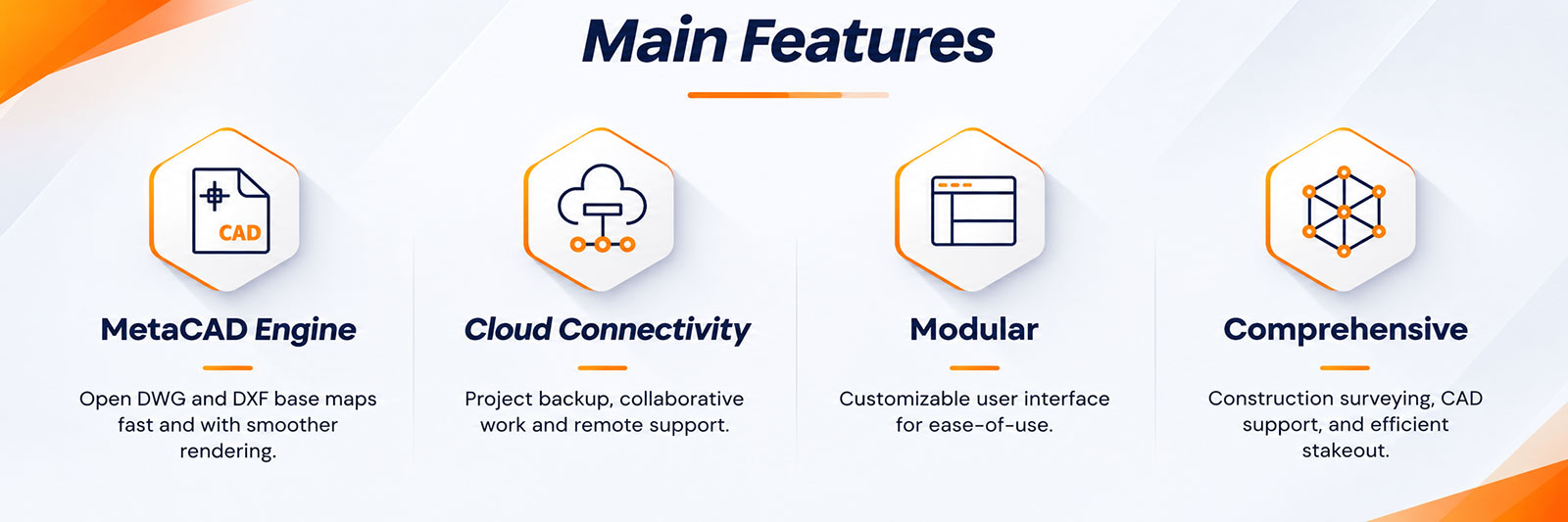
LandStar 8 is a professional surveying and mapping application designed for Android devices and CHCNAV field controllers. With its intuitive interface and straightforward workflows, it makes high-precision field data collection easier and more efficient. The software provides essential tools for construction surveying, control point measurements, CAD operations, and staking out points, lines, and surfaces. Support for industry-standard data formats also makes importing, exporting, and sharing survey data simple, helping field teams work efficiently from data collection to project completion.
USER-FRIENDLY OPERATION
Easy to use and learn, with powerful features
LandStar 8's simple and intuitive layout, with large map
windows and sharp graphics, makes surveying and mapping easier for all users.
Only relevant information is displayed, and unused functions can be hidden to
make the application even more straightforward and simple to operate.
Integrated video tutorials are available to help field operators quickly master
the app. Its modular design provides flexibility, and its rich feature set makes
Landstar 8 an effective solution to meet the requirements of most applications.
