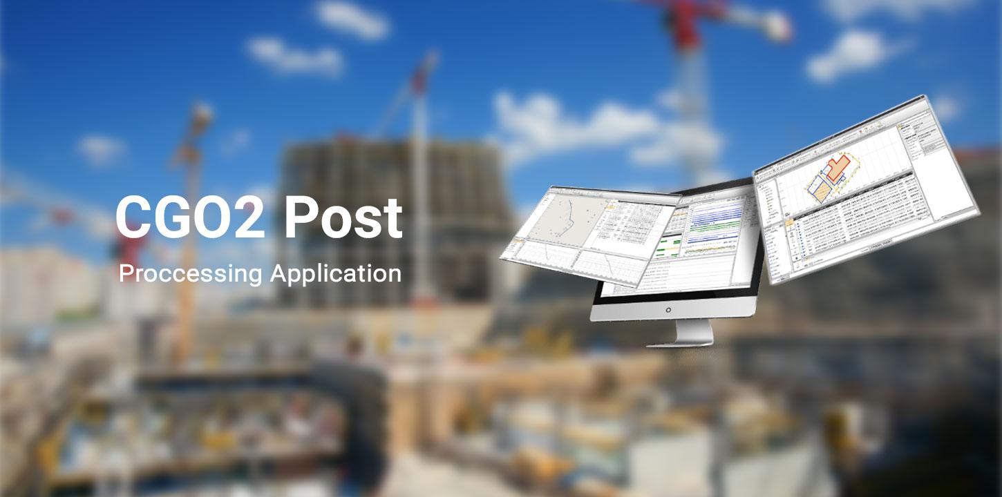
CGO Post Proccessing Application
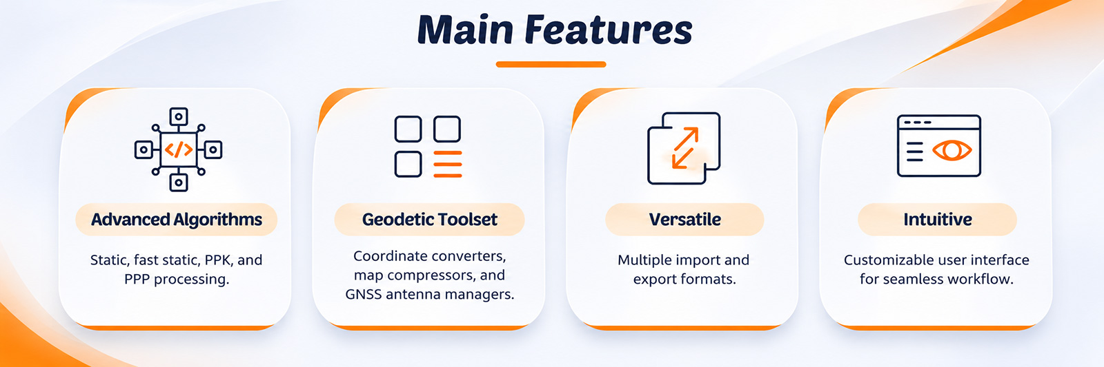
CGO is a professional GNSS post-processing software designed to edit, process, and analyze survey data with high precision. It provides a practical, easy-to-use platform for managing GNSS data collected in the field and turning it into accurate positioning results. The software supports a wide range of applications, including geodetic surveying, UAV trajectory processing, ground control point (GCP) measurements, and road construction projects. With tools for data processing and analysis, CGO helps survey professionals maintain an efficient workflow from field data collection to final results.
PROCESS MASSIVE FIELDWORK DATA
Integrate GNSS, RTK, ROAD and UAV modules
CGO2 is a all-in-one software to process GNSS data in
static, PPK and PPP algorithms, edit surveyed features and use PPK
post-processing results to correct field coordinates, stake out road elements,
and compute corrected UAV track coordinates.