CoProcess Point Cloud Processing Software
for Scan-to-CAD and Terrain Modeling
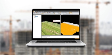
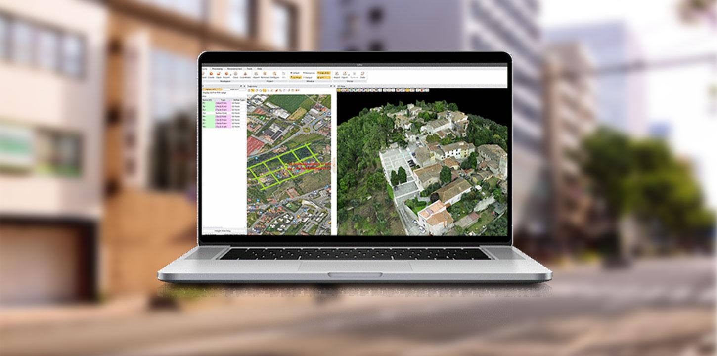
CoProcess is a professional point cloud processing solution that transforms large LiDAR datasets into accurate, engineering-ready results. It brings together scan-to-CAD drafting, point cloud classification, terrain modeling, and volume calculations in a streamlined, AI-assisted workflow. Capable of handling datasets exceeding 300 GB, CoProcess simplifies complex processing tasks, reduces manual work, and helps surveying and engineering professionals deliver reliable results in less time.