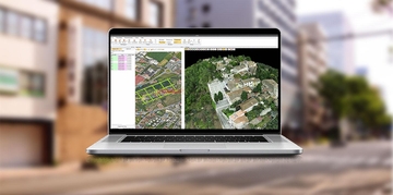

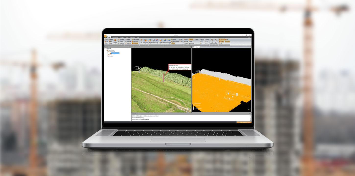
CoPre LiDAR Processing Software
CoPre is CHCNAV’s LiDAR processing software, designed to simplify the processing of mobile geospatial data while maintaining high levels of accuracy. It provides a complete set of tools for trajectory processing, point cloud and image georeferencing, colorization, filtering, and Digital Orthophoto Model (DOM) generation. Compatible with all CHCNAV LiDAR systems, CoPre helps surveying and mapping professionals manage post-processing tasks efficiently, improve data quality, and produce reliable results for a wide range of geospatial applications.