P330 Pro Drone
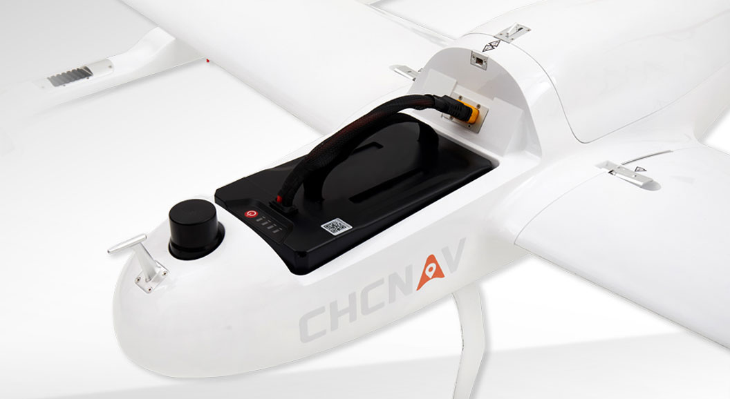
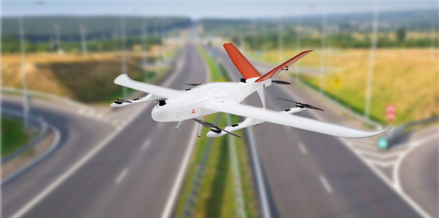
The P330 Pro is a high-performance vertical takeoff and landing (VTOL) fixed-wing unmanned aircraft system (UAS), specially designed for aerial surveying and mapping applications. With its concept of high accuracy, long endurance, and multiple payloads, it meets the requirements of mapping and aerial surveying professionals for many different applications.
The P330 Pro is available with an orthophoto camera and
optional sensors, such as an oblique camera for 3D modeling applications, to
address the most demanding mapping and topographic surveys.
The P330 Pro UAV allows you to conduct small- and
large-scale aerial surveys with extreme data quality and cost savings at a
significant time. It is an alternative to manned aircraft for surveying and
mapping, mining, construction and infrastructure, environmental monitoring,
agriculture, etc.
HIGH EFFICIENCY. LONG ENDURANCE
150 mins endurance and up to 20 km² coverage per flight
The P330 Pro VTOL drone is characterized by an
ultra-efficient aerodynamic design and can reach 150 minutes of endurance with
its payload to cover large areas per flight. With advanced power management and
superior navigation algorithms, the P330 Pro can accurately map a region of 20
km² at a scale of 1:2000. Mapping highway corridors and surveying open-pit
mines are now within reach in a single flight.


