Coprocess
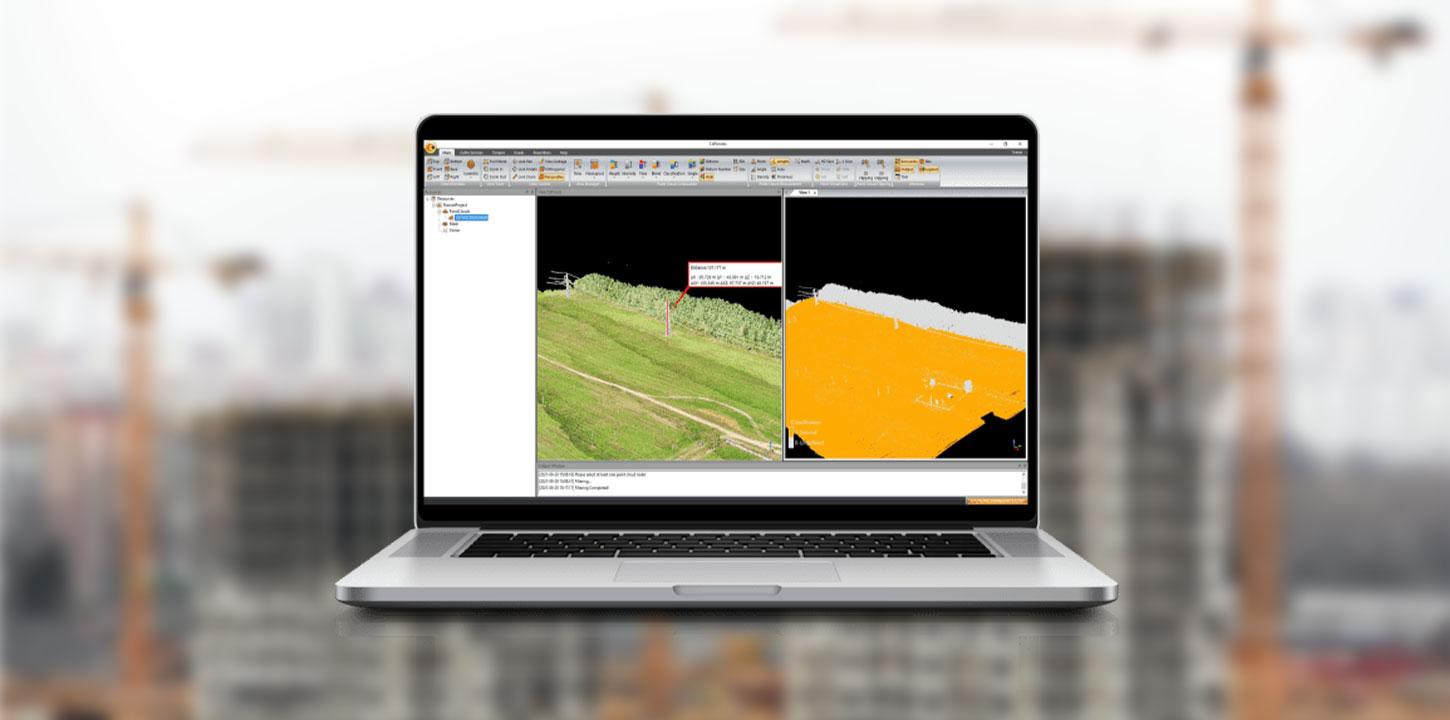
The CoProcess, developed by CHCNAV, is a powerful software
solution tailored to post-processing massive point cloud data. As a fully
integrated platform, CoProcess seamlessly processes point cloud data captured
in the field into various multi-format deliverables. Point cloud management,
measurement tools, and visualization are just parts of the software solution,
which also features a free configuration viewer. Creation of Digital Elevation
Models (DEMs) and Digital Terrain Models (DTMs), semi-automatic feature
extraction, automatic data classification, road design, and more are all
possible with CoProcess. The software's intuitive interface and advanced
processing capabilities make it a valuable tool for professionals from
different industries, such as surveying, construction, urban planning, and
infrastructure development. 
MASSIVE DATA CLASSIFICATION
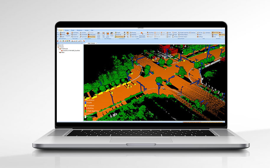
CoProcess uses advanced CHCNAV algorithms to automatically
and manually classify point cloud data into various categories, including
ground, vegetation, buildings, roads, power lines, and others. This
classification process allows for the efficient and accurate extraction of
valuable information from the point cloud data, such as creating 3D models of
buildings, mapping vegetation coverage, and identifying potential obstacles for
infrastructure planning and maintenance.


