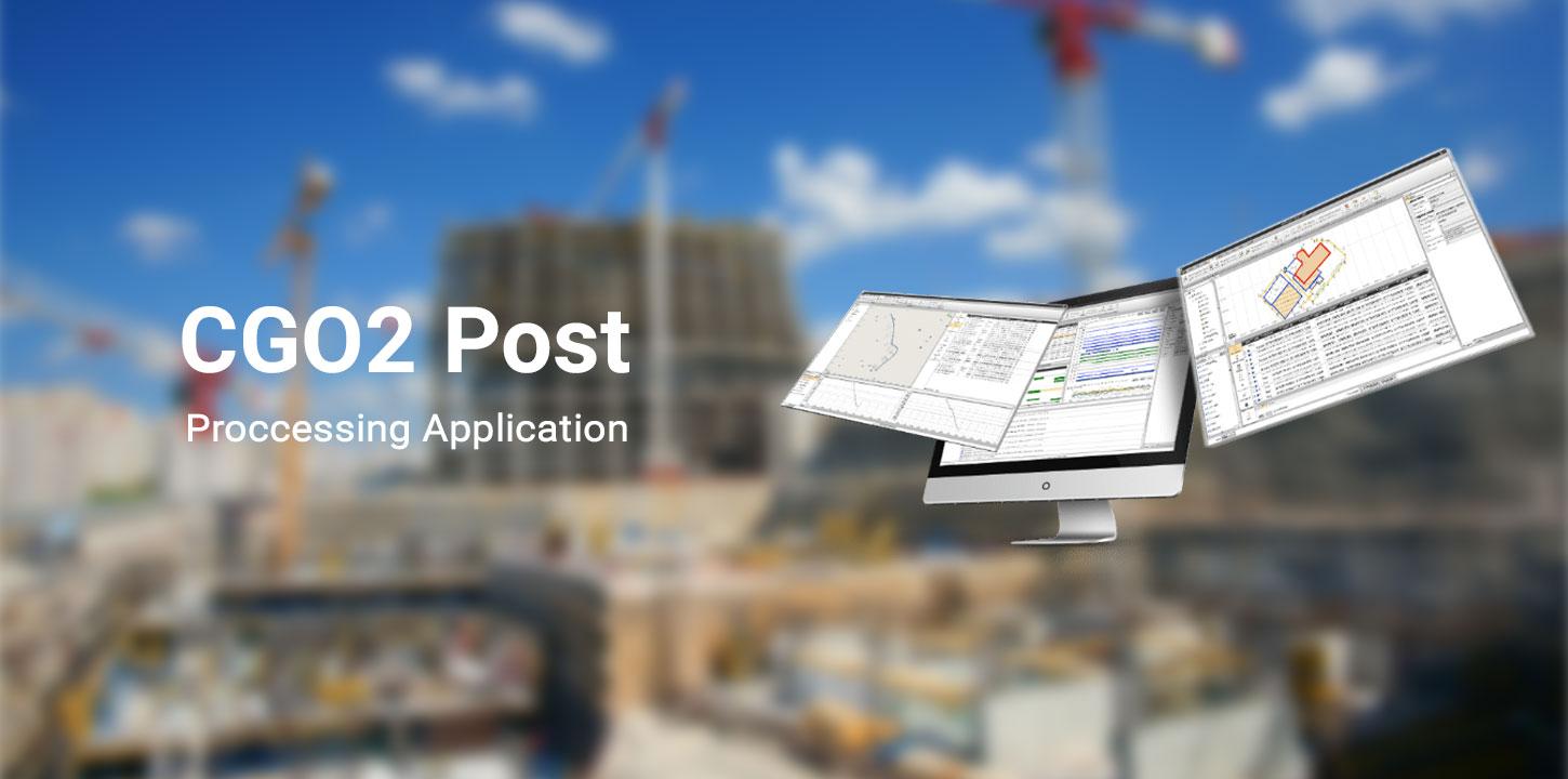
CGO2 Post Proccessing Application
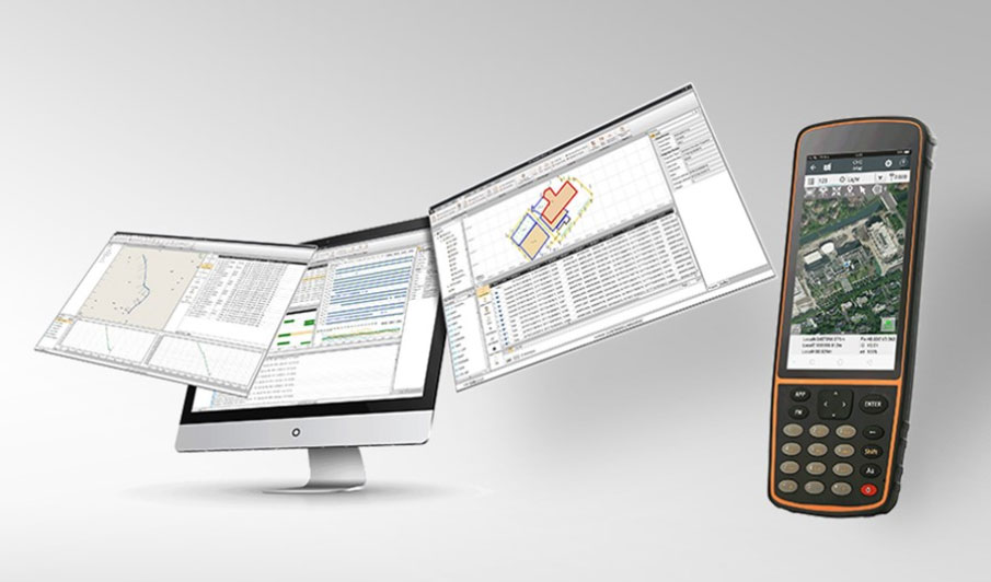
CHCNAV Geomatics Office Software (CGO2) is a powerful office
software to edit, process, and analyze GNSS raw data to obtain high-accuracy
positions.
Designed as a fully integrated platform to link your field
survey and GNSS post-processing requirements, CGO2 is an advanced yet
easy-to-use GNSS data post-processing solution for geodetic, surveying, UAV
trajectography and ground control points (GCPs) and road construction applications.
PROCESS MASSIVE FIELDWORK DATA
Integrate GNSS, RTK, ROAD and UAV modules
CGO2 is a all-in-one software to process GNSS data in
static, PPK and PPP algorithms, edit surveyed features and use PPK
post-processing results to correct field coordinates, stake out road elements,
and compute corrected UAV track coordinates.


