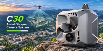

C5 Aerial Orthographic Camera System
The CHCNAV C5 is a high-performance aerial orthographic camera system designed for photogrammetric surveying and LiDAR data enhancement. Equipped with a full-frame sensor and fixed-focus lens, it captures detailed images across large areas, helping produce high-resolution orthophotos with excellent accuracy. Its low-distortion aerial survey lens minimizes image distortion and improves measurement precision, making the C5 a reliable choice for aerial mapping and geospatial data collection.
Download PDF