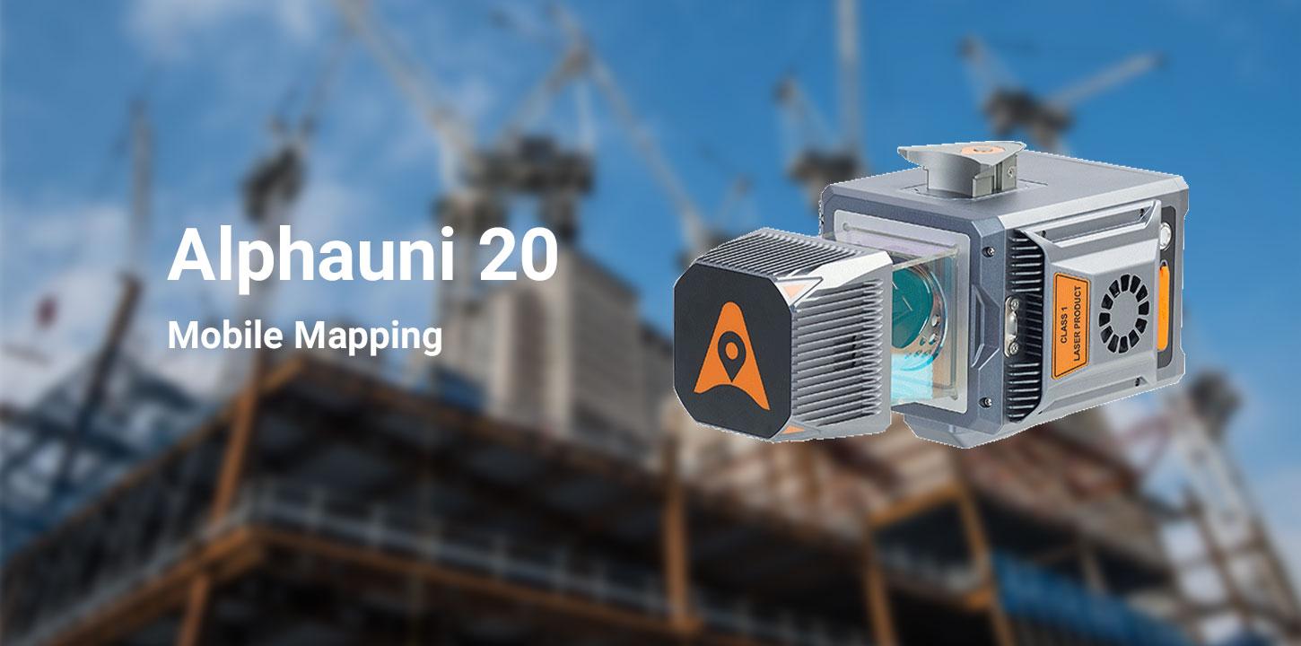
Alphauni 20
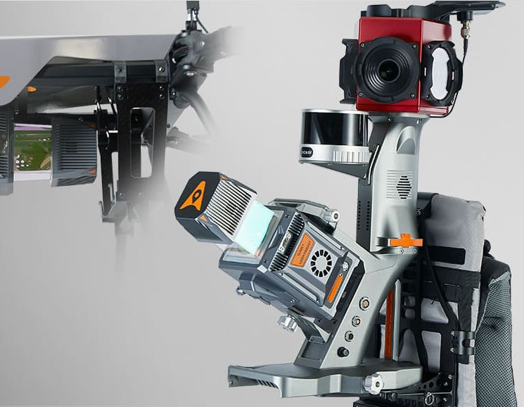
The AlphaUni 20 (or AU20) is a cost-effective,
multi-platform mobile mapping system of premium class. As a result of six years
of innovation and product development, it harnesses the power of CHCNAV's
state-of-the-art LiDAR technology. The AU20 excels in airborne scenarios,
delivering superior data and increasing survey efficiency through its
exceptional vegetation penetration capability, extended measurement range, high
accuracy, and data density.
With its unique and flexible installation design
complemented by CHCNAV's LiDAR technology, the AU20 achieves the perfect
balance of point cloud density, accuracy, and quality. The system enables
precise point cloud and immersive panoramic imagery tailored for various
applications, including road surfaces, highway maintenance, and asset
management through vehicle-based surveying.
The AU20 is redefining mobile mapping, democratizing the
reality capture industry, and making it accessible to all geospatial professionals.
OUTSTANDING ACCURACY
The AlphaUni 20 (or AU20) delivers precise accuracy through
CHCNAV's high-precision navigation algorithm and a scanner with 5 mm repeated
range accuracy, resulting in exceptional absolute accuracy of 2 to 5 cm, even in
challenging environments. Its long-range scanning capabilities reach up to 1450
m, while high-speed measuring at 2M points per second is enabled by a 200 Hz
continuously rotating mirror. The AU20 provides enhanced detail for all
critical surveying tasks. In addition, the newly developed SLAM algorithm will
improve trajectory accuracy in a challenging environment.


