AlphaAir 6 Dual
Flagship LiDAR Measurement System + Dual-Camera Imaging System
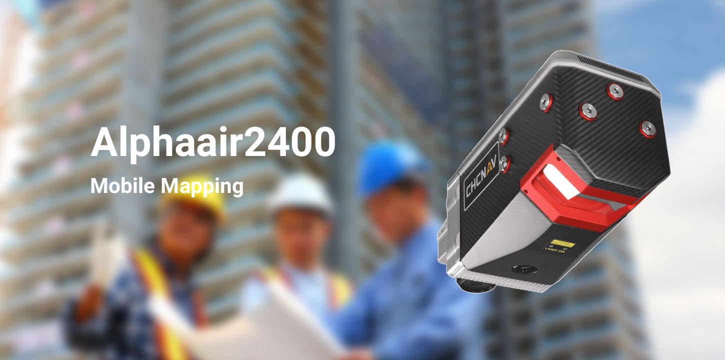
The CHCNAV AlphaAir 6 Dual (AA6D) is an airborne LiDAR system developed for accurate and efficient aerial surveying, particularly in mountainous and challenging terrain. Equipped with advanced prism scanning technology and an integrated inertial navigation system, it offers a maximum measurement range of 2,100 meters and supports typical flight altitudes of 100 to 600 meters above ground level.
Its fifth-generation waveform processing technology delivers dense, detailed point clouds with improved data coverage and completeness. The system also features dual APS-C CMOS cameras with an ultra-wide 110° field of view, capturing high-quality imagery alongside LiDAR data. With open interfaces and flexible integration options, the AA6D is compatible with multirotor drones, fixed-wing UAVs, and manned aircraft, making it a practical solution for a wide range of aerial mapping and surveying projects.